
ASEANO Project Report: Mapping and Characterization of the Imus River Watershed
PUBLICATION DATE:
Tuesday, April 19, 2022
PUBLICATION TYPE:
Reports
STATUS:
Only Available Online
DESCRIPTION:
River systems have been identified as major pathways and transporters of wastes, including plastics, that ultimately end up in the oceans. The Imus River Watershed (IRW) is located in the Philippine Province of Cavite, one of the provinces in the CALABARZON Region of southern Luzon. This study delineated and mapped the physical boundaries of the Imus River watershed and determined the topographic features, stream characteristics, geomorphology, political subdivisions, barangay communities, population distribution, land use and land cover, and hydro-climatic characteristics of the watershed. Both primary and secondary data sources were used in making comprehensive land use maps, population maps, and hydroclimatic data analyses.
The boundary of the Imus River Watershed was initially established through an unsupervised delineation process using a digital elevation model of Cavite with a 5-meter resolution in ArcGIS. Sangley Point Synoptic Station in Cavite City and the CvSU-PAGASA Agrometeorological Station in Indang were used to define the general hydroclimatic condition of IRW due to their close proximity to the watershed. The total drainage area of IRW is 11,259.80 hectares, covering portions of Tagaytay City, Amadeo, Silang, Dasmariñas, Imus City, Bacoor City and Kawit. Elevation within the watershed ranges from 0 to 655 meters above sea level. The lowland area covers parts of Kawit, Imus City, and Bacoor City; a central hilly area covers parts of Imus City, Bacoor City, and the majority of communities in Dasmariñas and Silang. The upland area covers parts of Silang, Amadeo, and Tagaytay City. There were 56 perennial streams identified with a total length of 186.15 km and 36 river segments. The Imus river system is a combination of headwaters and medium-sized streams. The sub-watersheds, labeled A, B, and C, have drainage densities of 1.15 km/km2, 1.95 km/km2, and 1.41 km/km2, respectively. The sub-watersheds A and C have stream frequencies of 0.20/km2 and 0.25/km2 while sub-watershed B has a stream frequency of 0.39/km2. In alphabetical order, these sub-watersheds have bifurcation ratios of 5, 3.31, and 2.5, elongation ratios of 0.33, 0.26, and 0.43, and circulatory ratios of 0.18, 0.11, and 0.26.
A total of 222 barangay communities are located within the boundaries of the watershed with a total population of 1,351,057 in 2015. 90.67% of the province is classified as alienable and disposable land, while the remaining forest land represents only 9.33%. Alienable and disposable lands are further classified as production land (55.24%) and built-up areas (44.76%). The Sangley Point Synoptic Station has a normal mean temperature of 28.53°C while the CvSU-PAGASA Agromet Station has a normal mean temperature of 26.20°C. The average total annual rainfall recorded at Sangley Point Synoptic station and CvSU Agromet Station were 2,265.69 mm and 2,483.05 mm, respectively. The average flow during wet season was 1,601.84 liters per second, while the average flow during dry season was 1,337.42 liters per second.
RELATED PUBLICATIONS
Regional Training on the REWEFe Toolkit and WEFE Nexus Application in Southeast Asia
The GEF/UNDP/ASEAN Project on Reducing Pollution and Preserving Environmental Flows in the East Asian Seas through the Implementation of Integrated River Basin Management (IRBM) in ASEAN Countries through the Regional Project Management Unit (RPMU) of PEMSEA Resource Facility (PRF) organized a Regional Training on the Rapid Evaluation of the Water, Energy, Food and Ecosystem (REWEFe) Toolkit and Water, Energy, Food and Ecosystem (WEFE) Nexus Application in Southeast Asia on April 21-24, 2026 in Manila, Philippines, in collaboration with FutureWater.
The IRBM Project is being implemented by PRF and aims to establish functional IRBM mechanisms to reduce pollution, sustain freshwater environmental flows, and adapt to climate change across seven priority river basins in Cambodia, Indonesia, Lao PDR, Malaysia, Philippines, and Viet Nam.
The REWEFe toolkit was developed by FutureWater and tailored to meet the specific needs of the IRBM Project and the Southeast Asian region WEFE Nexus context. Following its successful demonstration in three priority river basins of the IRBM Project, a need for regional capacity building was identified to support broader uptake of the toolkit within sound IRBM governance processes. This training represented a key milestone in that capacity building effort.
PEMSEA Annual Report 2025: Midway Forward: Sustaining Momentum, Navigating Horizons
The year 2025 marks the midpoint of PEMSEA’s journey toward 2030. Appropriately titled Midway Forward: Sustaining Momentum, Navigating Horizons, this Annual Report provides an opportunity to reflect on progress achieved, celebrate key milestones, and reaffirm our commitment to advancing sustainable development across the East Asian Seas region.
Throughout 2025, the region continued to confront complex and interconnected challenges. Climate change, biodiversity loss, marine pollution, and increasing socio-economic pressures tested the resilience of institutions, communities, and governments. Yet these challenges also underscored the urgency and opportunity for transformative action. Through initiatives in sustainable fisheries management, blue carbon ecosystem restoration, integrated coastal management, river basin governance, including marine plastics pollution reduction. PEMSEA and its partners continued to advance practical solutions that strengthen coastal livelihoods, protect natural capital, and enhance resilience for future generations.
As PEMSEA sustains its momentum, it is also preparing for the next phase of its regional journey. Guided by the SDS-SEA Implementation Plan 2023–2027, the organization undertook strategic assessments to sharpen its direction toward 2030, strengthen institutional effectiveness, and advance financial sustainability through innovative and diversified resource mobilization. This year also marks a leadership transition, with a new Executive Committee assuming the responsibility of guiding PEMSEA through its next chapter of regional cooperation, innovation, and action.
The path forward will not be without challenges. Climate risks are intensifying, development pressures are increasing, and governance demands are becoming ever more complex. Yet PEMSEA remains steadfast in its commitment to fostering resilience, strengthening partnerships, and advancing sustainable development. As we move beyond the midpoint toward 2030, we will continue to scale innovative solutions, deepen collaboration, and place people and ecosystems at the heart of our efforts to build a more resilient, inclusive, and sustainable East Asian Seas region.
Proceedings of the 3rd Meeting of the Blue Carbon Technical Working Group
The 3rd PEMSEA Blue Carbon Technical Working Group Meeting, held online on 12 September 2025, focused on three main items: Partnership Council feedback from the 17th EAS PC Meeting in July, updates to the Regional Blue Carbon Accounting Protocol (RBCAP), and program planning for 2025–2026. The TWG approved the RBCAP Main Manual while keeping the ecosystem-specific annexes open for further refinement, with members agreeing to prioritize mangroves as the most methodologically mature ecosystem before integrating seagrass, salt marshes, and tidal flats. The meeting also introduced Dr. Suk-Jae Kwon as the new TWG Chair, succeeding Dr. Keita Furukawa, and set schedules for upcoming Core Group meetings on the seagrass and salt marsh annexes ahead of the next TWG plenary on 4 November 2025.
PEMSEA eBulletin - May 2026
Dear PEMSEA community,
The month of May marked continued progress in strengthening capacity building and collaboration across the East Asian Seas!
In Indonesia, read how IPB University convened the Summer Course on Marine Litter Management, Policy, and Integrated Coastal Governance. Discover how the PEMSEA Resource Facility supported the PEMSEA Network of Learning Centers (PNLC) as regional experts gathered in Bogor to train international students and early-career researchers. Ms. Nancy Bermas, Regional Project Manager of the GEF/UNDP/ASEAN Integrated River Basin Management Project, represented PRF and delivered a lecture on cross-country marine litter governance and management. She introduced PEMSEA’s Framework for Sustainable Development of Coastal and Marine Areas, highlighting how marine litter responses can align with global, regional, national, and local action plans, while using Manila Bay as a case study for multi-stakeholder collaboration. Ms. Bermas also shared how PRF’s IRBM Project and the MOF/PEMSEA Marine Plastics ODA Project on Reducing Marine Plastics are supporting regional efforts in marine litter and plastic waste management.
In the Philippines, discover how efforts to protect the Ticao-Burias Pass Protected Seascape (TBPPS) are translating into concrete local action as PEMSEA, the ASEAN Centre for Biodiversity (ACB), and DENR-BMB held a second major training workshop in Legazpi City on Integrated Coastal Management (ICM) and Marine Spatial Planning. In Thailand, read about the ASEAN ENMAPS project’s efforts to strengthen ICM and Marine Spatial Planning for marine protected area management through its training workshop.
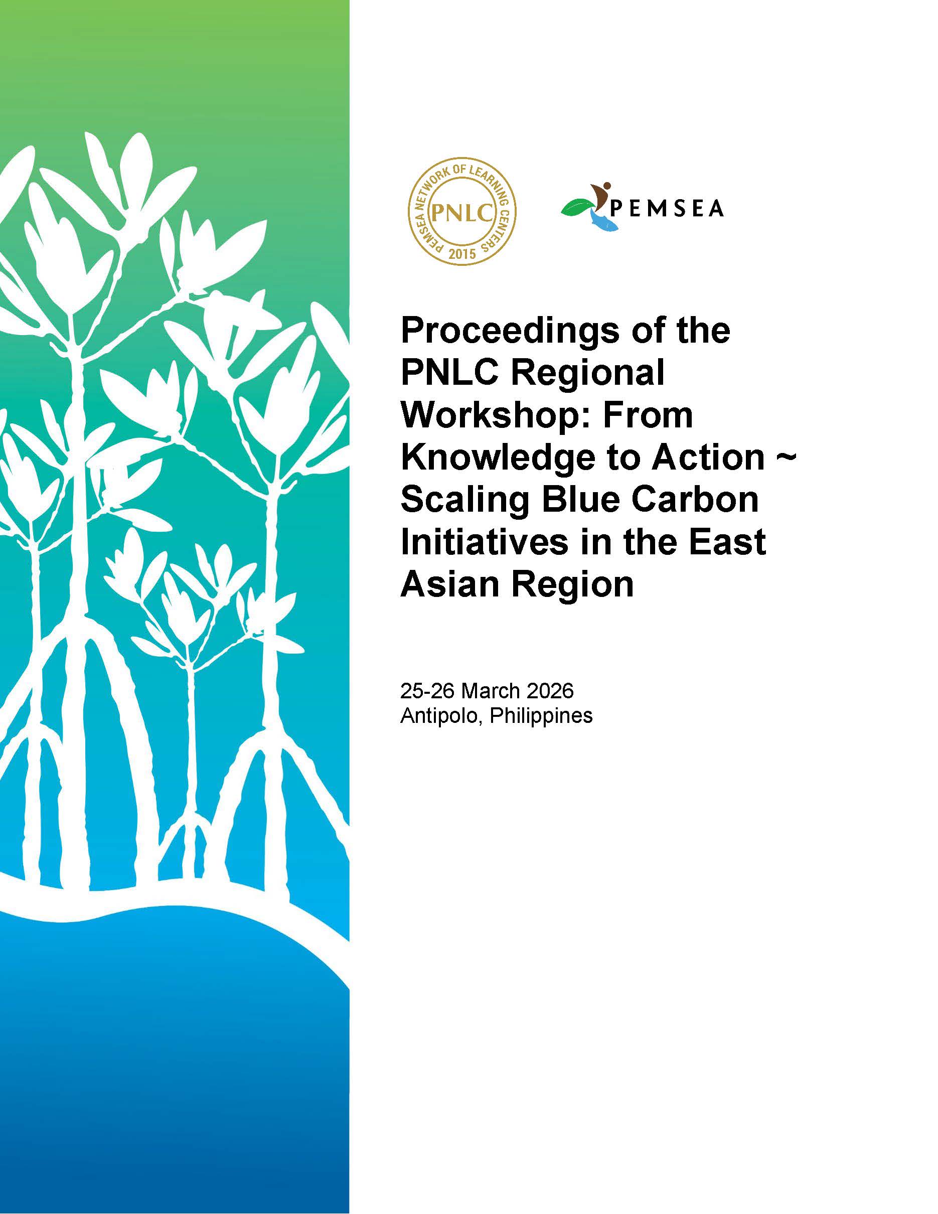
Proceedings of the PNLC Regional Workshop: From Knowledge to Action Scaling Blue Carbon Initiatives in the East Asian Region
The Regional Workshop entitled “PNLC Regional Workshop: From Knowledge to Action: Scaling Blue Carbon Initiatives in the East Asian Region” was hosted by the PEMSEA Network of Learning Centers (PNLC) and held in Antipolo, Philippines, from 25–26 March 2026.
The workshop brought together 43 participants including experts, speakers, and representatives from PNLC member institutions from 8 countries across the region, namely Cambodia, China, Lao PDR, Indonesia, the Philippines, Thailand, Timor-Leste, and Vietnam.
Co-sponsored by the Luce Foundation, University of Hawai‘i, University of the Philippines–Marine Science Institute, the Ministry of Environment Indonesia, and the PNLC, and organized by the PNLC Secretariat in coordination with the PEMSEA Resource Facility.