
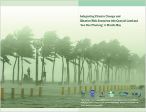
Integrating climate change and disaster risk scenarios into coastal land and sea use planning in Manila Bay
PUBLICATION DATE:
Friday, June 01, 2012
PUBLICATION TYPE:
Reports
STATUS:
Out of Print
DESCRIPTION:
One of the key issues facing governments throughout the East Asian Seas (EAS) region is the impact of climate change, variability and extremes, particularly in coastal areas. Manila Bay is no exception, with incidents of flooding, storm surges, saltwater intrusion and erosion occurring with increasing frequency or heightened intensity. Of special concern is the threat of sea level rise in the Bay area and its effects on infrastructure as well as social and economic development in the area. The Manila Declaration, which was signed by the Ministers and Senior Government Officials from the Partnerships in Environmental Management for the Seas of East Asia (PEMSEA) Partner Countries in December 2009, called for countries of the region to strengthen and accelerate the implementation of integrated coastal management (ICM) for sustainable development and climate change adaptation in coastal areas of the region. In Manila Bay, the Department of Environment and Natural Resources (DENR) – River Basin Coordinating Office (RBCO), Coastal and Marine Management Office (CMMO) and Manila Bay Coordinating Office (MBCO), and PEMSEA have been working with local government units (LGUs) to scale up the implementation of ICM around the Bay’s coastline, building on the experience of ICM programs in the Provinces of Bataan and Cavite. One of the major thrusts of ICM development and implementation is the preparation of an integrated land and sea use plan. This calls for the conduct of coastal use zoning, which will serve as a guide in the preparation of a plan and regulatory system to allocate the appropriate zones and corresponding uses of the coastal and marine area. Coastal use zoning is based on the functional capability and suitability of coastal waters and land as to the desired uses, the development envisioned by the stakeholders, existing policies and ecological, cultural and traditional considerations. The zoning process is a socio-political matter requiring scientific and technical inputs, involving multi-sector participation and extensive consultation with concerned stakeholders in order to reach consensus on the various zones and their corresponding uses. A major gap in previous meetings and consultations concerning the sustainable development of Manila Bay is the lack of existing and projected impacts of climate change, variability and extremes on the area. Similarly, inputs to the development of integrated land and sea use plans by the local governments in Bataan and Cavite have been lacking guidance and information on changes that are expected to occur because of sea level rise, as well as other potential impacts of climate change (e.g., more intense rainfall or more intense storms). To address this gap, “macro-scale” land and sea use zones for Manila Bay will be prepared with a specific focus on the different scenarios for sea level rise, flooding and storm surges as a consequence of climate change, variability and extremes in the coastal areas over the next 50 years. This document will provide information on climate change, variability and extremes and sea level rise, as inputs to the coastal land and sea use planning and zoning along the Manila Bay area. The physical boundaries of the coastal area to which the Coastal Land and Water Use Plan applies is governed by the Philippine Fisheries Code of 1998 (Republic Act 8550).
RELATED PUBLICATIONS
MOF/PEMSEA Marine Plastics ODA Project 2026 Intersessional Regional Steering Committee Meeting
The 2026 Intersessional Regional Steering Committee (RSC) Meeting of the MOF/PEMSEA ODA Project on Reducing Marine Plastics in the East Asian Seas Region was held on 2 July 2026 in PEMSEA Office and via Zoom. The objective of the meeting was to report the status of the procurement process for the pilot projects in the Philippines, to seek approval for changes in Dipolog City's pilot project design and budget and to provide an update on project implementation in Timor-Leste, including the hiring of consultants and the preparation of pilot project designs and the MEP Program in Dili, Manatuto, Liquica and Atauro.
The 2nd Intersessional RSC Meeting was a significant step to ensure that the pilot project implementation in the Philippines remains within the agreed timeline—as reported during the 3rd RSC Meeting—and to realign Dipolog City's design and budget to efficiently and effectively address the City's marine plastic issues. Specifically, this aims to urgently improve household waste collection and transport to material recovery facilities and the sanitary landfill.In addition, the meeting marked the start of the full implementation of the project in Timor-Leste, bolstered by added support through the hiring of the National Coordinator and National Technical Advisor. This will hasten coordination among the national and local governments, various stakeholders, and local communities.
The meeting was organized in hybrid format: at the conference room of PEMSEA Office which was chaired by Mr. Eddie Abugan, Division Chief, Project Management Division, FASPS, DENR, Philippines and through Zoom for the online participants.
Integrated River Basin Management Project Newsletter - Edition 11
The second quarter of 2026 focused on technical capacity development, regional and global knowledge exchange, and basin-level implementation under the GEF/UNDP/ASEAN Integrated River Basin Management (IRBM) Project. Activities during the quarter included the Regional Training on the REWEFe Toolkit and Water–Energy–Food–Ecosystem (WEFE) Nexus Application; knowledge exchange on marine litter governance and Source-to-Sea cooperation; and the formalization of partnerships for Project implementation in the Kedah River Basin, Malaysia.
In April, representatives from the six ASEAN Member States participating in the Project took part in the hybrid Regional Training on the REWEFe Toolkit and WEFE Nexus Application, held in Manila, Philippines. Participants were introduced to the Project’s basin-level WEFE Nexus assessment and the REWEFe Toolkit comprising the User Manual and Guide. Through lectures, discussions, and hands-on exercises, they examined the governance and technical dimensions of applying the Toolkit, developed user-defined scenarios, and analyzed trade-offs and synergies across the WEFE nexus. The training also explored how scenario results can support cross-sector coordination and inform IRBM strategies and action plans, pilot project development, and stakeholder discussions at the river basin level.
Regional knowledge exchange continued in May through the PEMSEA Resource Facility’s participation in the International Summer Course on Marine Litter Management, Policy and Integrated Coastal Governance in the East Asian Seas Region, hosted by IPB University in Bogor, Indonesia. Ms. Nancy Bermas, Regional Project Manager of the IRBM Project, delivered a lecture on cross-country mapping of marine litter governance and management. She introduced PEMSEA’s Framework for Sustainable Development of Coastal and Marine Areas and presented the Manila Bay experience to illustrate how partnerships among governments, academic institutions, the private sector, development partners, civil society organizations, and communities can support coordinated responses to managing marine litter. She also discussed how the IRBM Project and the MOF/PEMSEA Marine Plastics Official Development Assistance (ODA) Project contribute to marine litter and plastic waste management.
Also in May, the Project shared its experience in applying the Source-to-Sea approach during the webinar, Source-to-Sea Cooperation: Practical Guidance for Implementation in Transboundary Basins, jointly organized by GEF IW:LEARN and the Secretariat of the UN Water Convention at UNECE. During the practitioner panel, Ms. Bermas explained how the IW:LEARN guidance has informed the Project from concept and project development through implementation, monitoring, evaluation, and learning. She highlighted its application in identifying priority flows and basin hotspots; conducting stakeholder mapping and governance baseline assessments; strengthening multisectoral and interagency river basin mechanisms; developing and implementing pilot projects to address the priority flows; and establishing monitoring, evaluation, and learning systems, including indicator-based State of River Basin Reports. She also emphasized the need for more on-the-ground examples showing how integrated river basin management, integrated coastal management, and marine protected area networks can be linked through the broader Sourceto- Sea framework.
In June, the Project officially launched implementation in the Kedah River Basin following the signing of a Memorandum of Agreement between the Universiti Sains Malaysia and the PEMSEA Resource Facility and a Memorandum of Understanding among the Department of Irrigation and Drainage Malaysia, the Kedah State Water Resources Board, and Universiti Sains Malaysia. The agreements formalized partnerships to strengthen the coordinating mechanism for IRBM implementation, undertake a baseline assessment of the river basin and associated coastal areas of Kedah State, and prepare a State of River Basin Report and IRBM Strategic Action Plan. The Project will also support the development and implementation of pilot projects addressing priority concerns, including flooding, declining water quality, and sedimentation.
This edition also features a closer look at the Project’s WEFE Nexus assessment, and the application of the REWEFe Toolkit supported by a User Manual and Guide. The feature explains how these resources contribute to understanding basin conditions, assessing future scenarios, and informing IRBM strategies, action plans, and potential interventions across the seven priority river basins.
Regional Training on the REWEFe Toolkit and WEFE Nexus Application in Southeast Asia
The GEF/UNDP/ASEAN Project on Reducing Pollution and Preserving Environmental Flows in the East Asian Seas through the Implementation of Integrated River Basin Management (IRBM) in ASEAN Countries through the Regional Project Management Unit (RPMU) of PEMSEA Resource Facility (PRF) organized a Regional Training on the Rapid Evaluation of the Water, Energy, Food and Ecosystem (REWEFe) Toolkit and Water, Energy, Food and Ecosystem (WEFE) Nexus Application in Southeast Asia on April 21-24, 2026 in Manila, Philippines, in collaboration with FutureWater.
The IRBM Project is being implemented by PRF and aims to establish functional IRBM mechanisms to reduce pollution, sustain freshwater environmental flows, and adapt to climate change across seven priority river basins in Cambodia, Indonesia, Lao PDR, Malaysia, Philippines, and Viet Nam.
The REWEFe toolkit was developed by FutureWater and tailored to meet the specific needs of the IRBM Project and the Southeast Asian region WEFE Nexus context. Following its successful demonstration in three priority river basins of the IRBM Project, a need for regional capacity building was identified to support broader uptake of the toolkit within sound IRBM governance processes. This training represented a key milestone in that capacity building effort.
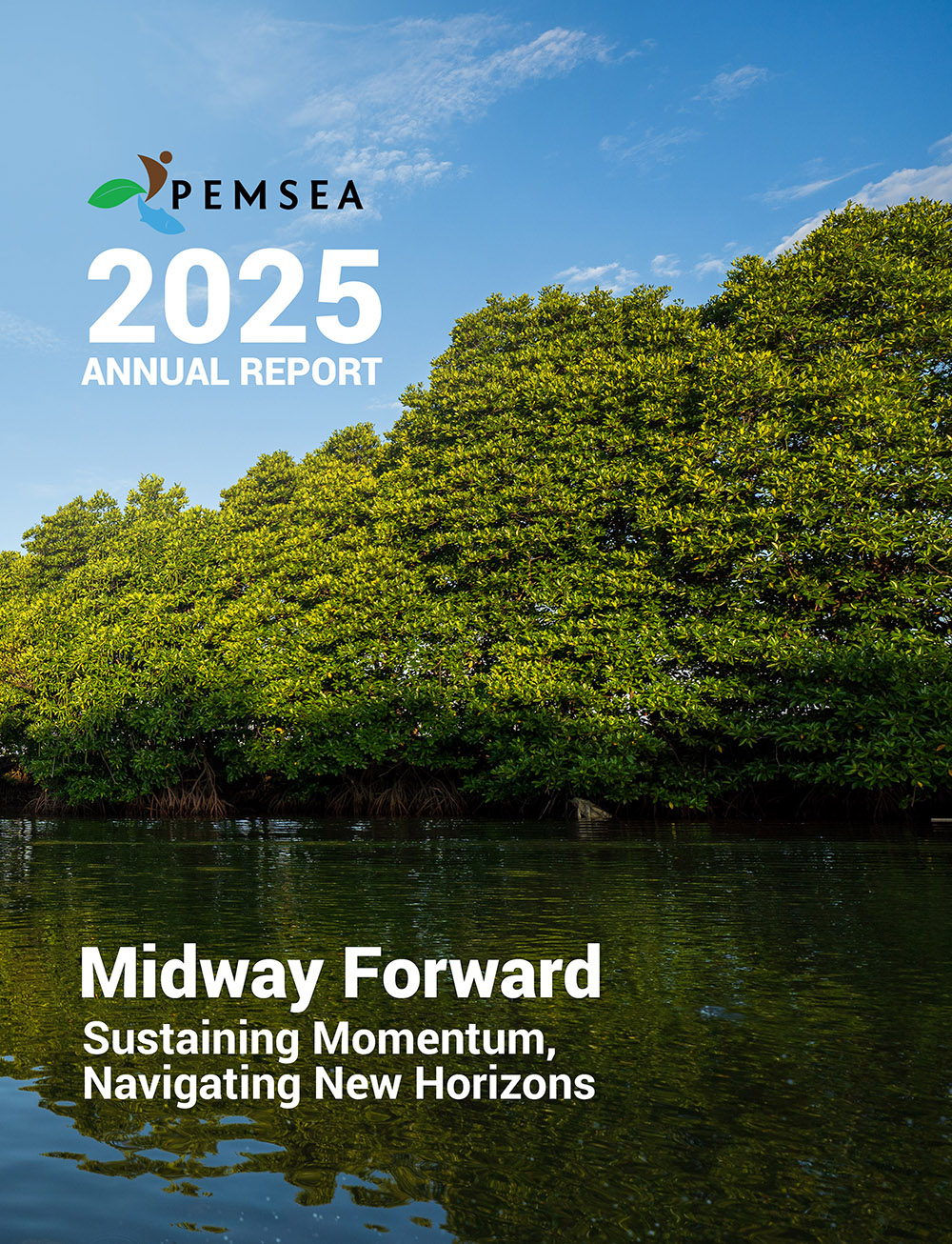
PEMSEA Annual Report 2025: Midway Forward: Sustaining Momentum, Navigating Horizons
The year 2025 marks the midpoint of PEMSEA’s journey toward 2030. Appropriately titled Midway Forward: Sustaining Momentum, Navigating Horizons, this Annual Report provides an opportunity to reflect on progress achieved, celebrate key milestones, and reaffirm our commitment to advancing sustainable development across the East Asian Seas region.
Throughout 2025, the region continued to confront complex and interconnected challenges. Climate change, biodiversity loss, marine pollution, and increasing socio-economic pressures tested the resilience of institutions, communities, and governments. Yet these challenges also underscored the urgency and opportunity for transformative action. Through initiatives in sustainable fisheries management, blue carbon ecosystem restoration, integrated coastal management, river basin governance, including marine plastics pollution reduction. PEMSEA and its partners continued to advance practical solutions that strengthen coastal livelihoods, protect natural capital, and enhance resilience for future generations.
As PEMSEA sustains its momentum, it is also preparing for the next phase of its regional journey. Guided by the SDS-SEA Implementation Plan 2023–2027, the organization undertook strategic assessments to sharpen its direction toward 2030, strengthen institutional effectiveness, and advance financial sustainability through innovative and diversified resource mobilization. This year also marks a leadership transition, with a new Executive Committee assuming the responsibility of guiding PEMSEA through its next chapter of regional cooperation, innovation, and action.
The path forward will not be without challenges. Climate risks are intensifying, development pressures are increasing, and governance demands are becoming ever more complex. Yet PEMSEA remains steadfast in its commitment to fostering resilience, strengthening partnerships, and advancing sustainable development. As we move beyond the midpoint toward 2030, we will continue to scale innovative solutions, deepen collaboration, and place people and ecosystems at the heart of our efforts to build a more resilient, inclusive, and sustainable East Asian Seas region.
Proceedings of the 3rd Meeting of the Blue Carbon Technical Working Group
The 3rd PEMSEA Blue Carbon Technical Working Group Meeting, held online on 12 September 2025, focused on three main items: Partnership Council feedback from the 17th EAS PC Meeting in July, updates to the Regional Blue Carbon Accounting Protocol (RBCAP), and program planning for 2025–2026. The TWG approved the RBCAP Main Manual while keeping the ecosystem-specific annexes open for further refinement, with members agreeing to prioritize mangroves as the most methodologically mature ecosystem before integrating seagrass, salt marshes, and tidal flats. The meeting also introduced Dr. Suk-Jae Kwon as the new TWG Chair, succeeding Dr. Keita Furukawa, and set schedules for upcoming Core Group meetings on the seagrass and salt marsh annexes ahead of the next TWG plenary on 4 November 2025.